
Putuk Truno Camp Area
We want to be on each of your journeys seeking the satisfaction of seeing the incorruptible beauty of nature. We can help you on an adventure around the world in just one app
198k Excellent reviews
How we work?
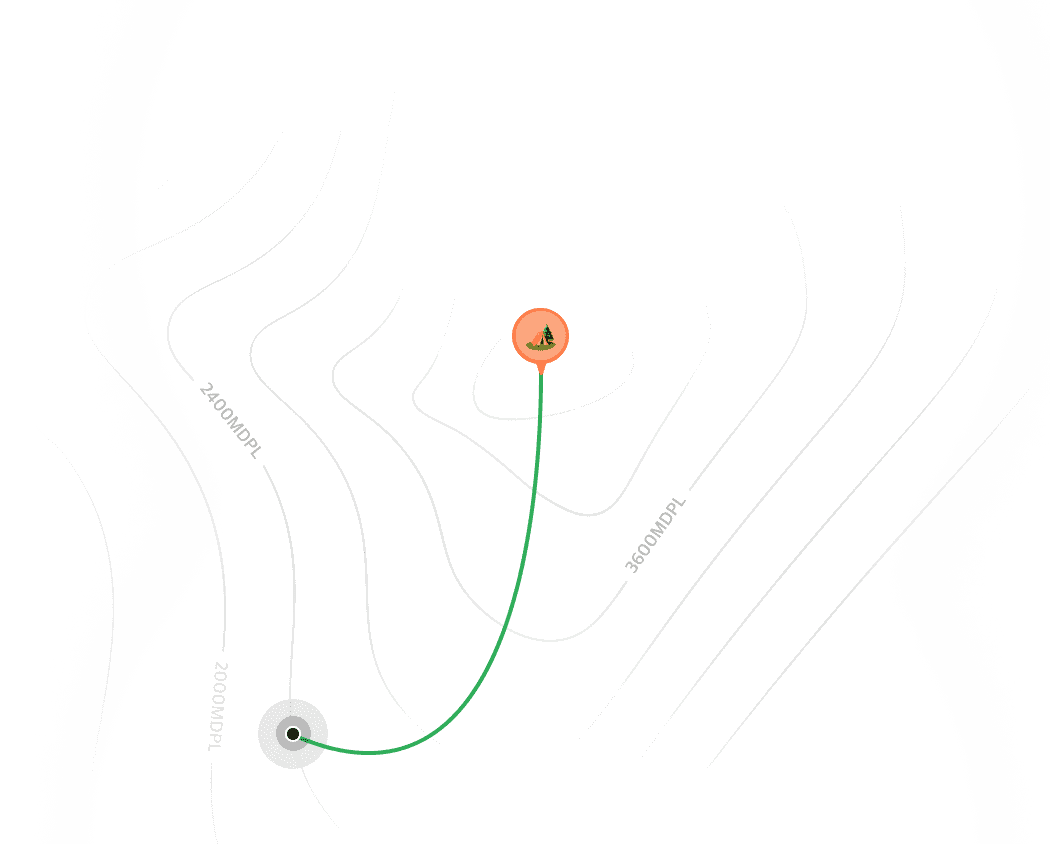
Location
Aguas Calientes
Distance
173.28 mi
Elevation
2.040 km

Putuk Truno Camp
Prigon, patsuruan
50+ joined
Putuk Truno Camp
Prigon, patsuruan
50+ joined
Feeling Lost and Not Knowing The Way
Starting from the anxiety of the system, visible you are closer ot the possibility of getting lost is next . that's why from here you start the adventure

WE ARE HERE FOR YOU
Guide You to Easy Path
Only with the hilink application you will no longer get lost and get lost again, because we already support offline maps when there is no internet connection in the field. invite your friends, relatives and friends to have fun in the wilderness through the valley and reach the top of the mountain

Destination
48 min
Aguas Calientes
Start track
Wonorejo Pasuruan
Our Features


Real Maps Can Be Offline
we provide a blah balh bulus caompae adhde to make sure that you are safe the capbe usf sis sifn ens fsjs fjfj its it

Real Maps Can Be Offline
we provide a blah balh bulus caompae adhde to make sure that you are safe the capbe usf sis sifn ens fsjs fjfj its it

Real Maps Can Be Offline
we provide a blah balh bulus caompae adhde to make sure that you are safe the capbe usf sis sifn ens fsjs fjfj its it

Real Maps Can Be Offline
we provide a blah balh bulus caompae adhde to make sure that you are safe the capbe usf sis sifn ens fsjs fjfj its it
Get for free now!
Available on ios and android
